Moloka'i
|
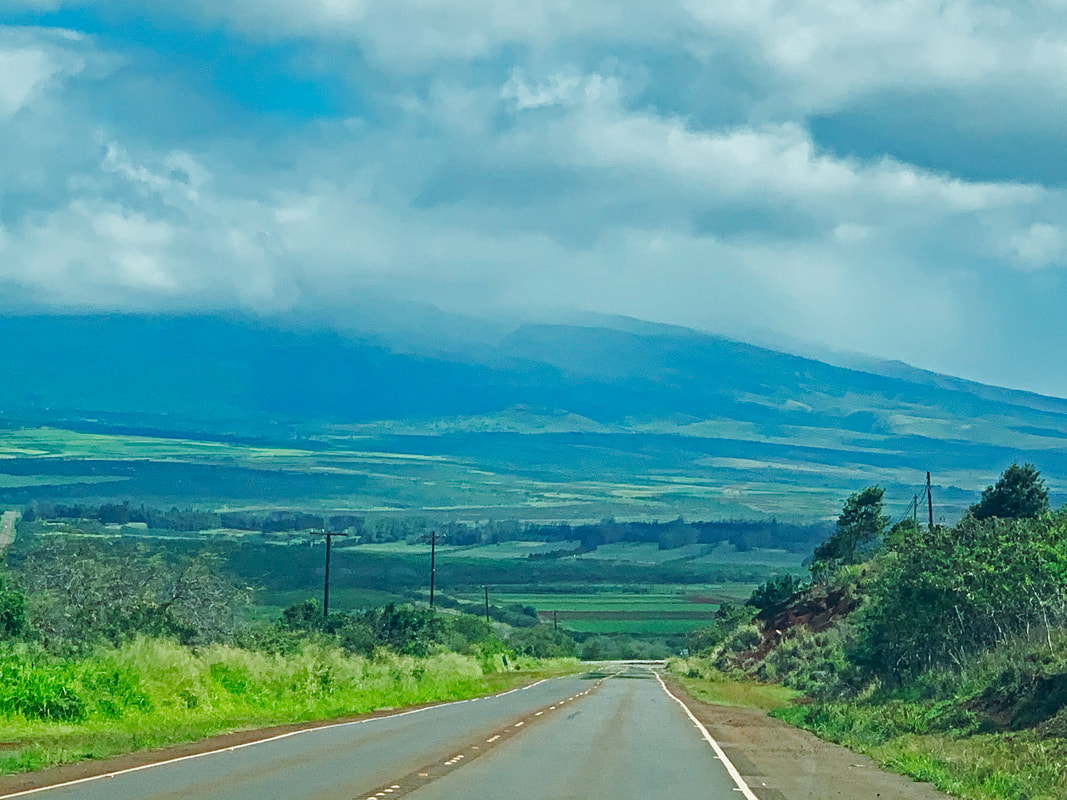
Each of the inhabited islands of Maui County were formed by shield volcanoes. Both Maui and Moloka‘i have two shield volcanoes connected by an isthmus. Lāna‘i was formed by one shield volcano which, in many ways, is a classic example of a Hawaiian shield with gentle slopes.
University of Hawai’i at Manoa, School of Ocean & Earth Science & Technology, Department of Geology and Geophysics
|
The Hāna coast contains some of the most beautiful and scenic lands on Maui Island, characterized by white and black sand beaches, high sea cliffs, and cinder cones.
University of Hawai’i at Manoa, School of Ocean & Earth Science & Technology, Department of Geology and Geophysics
|
Maui is home to more than 800 farms that grow a variety of foods. With its multiple climates, the county can grow foods year-round, and just about any crop.
Maui Farm Bureau
|
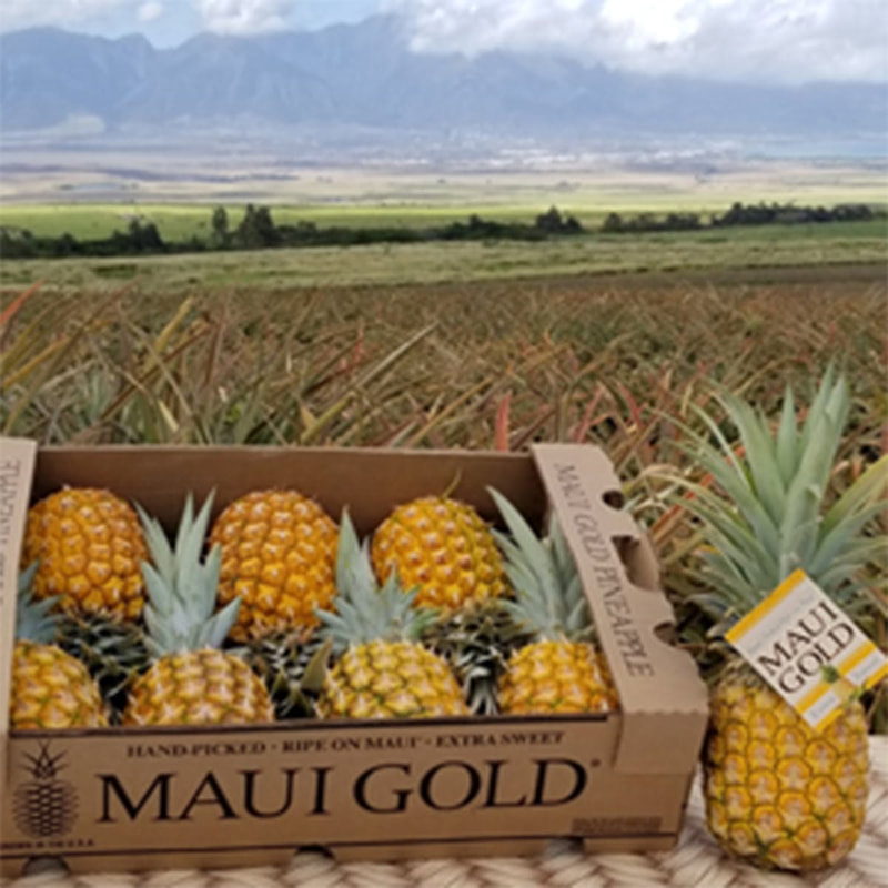
Maui Gold Pineapple Plantation
|
Lāna‘i, once known as the "Pineapple Isle," is 141.1 sq. miles. An average of 3,203 people made their home on the island from 2013-2017 mainly in Lāna‘i City.
State of Hawai’i, Dept. of Business, Economic Development & Tourism
Maui County is home to seven nature preserves which are part of the statewide Natural Area Reserves System:
- ‘Āhihi-Kīna‘u—the first reserve in the Natural Area Reserve System
- Hanawī--containing a rare subalpine grassland as well as montane and lowland semi-wet and wet grasslands and forests
- Kanaio—protecting a remnant of the native dryland forest
- West Maui—containing extremely important watershed sites
- Nakula—protecting rare leeward koa-‘ohi‘a forest and alpine shrublands
- Pu‘u Ali‘i—a wet summit plateau inhabited by wet forests, mixed fern and shrub montane cliff communities, and wet shrublands, and Hawaiian intermittent stream communities
- Oloku‘i—an isolated, cloud-shrouded mountain plateau with slopes extending down to sea cliffs; one of the few areas left undisturbed by feral ungulates it contains wet and dry ecosystems and coastal dry grasslands
State of Hawai’i, Division of Forestry and Wildlife
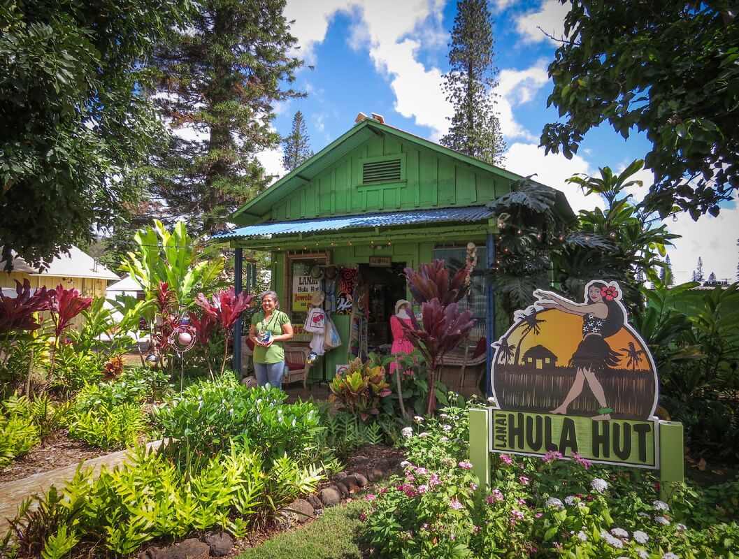
Lāna‘i Gift Shop
|
The COVID-19 pandemic has been devastating for the Hawai‘i, U.S., and world economies, but in the long term there may be a renewed focus on local supply chains and a more diversified local economy.
|
